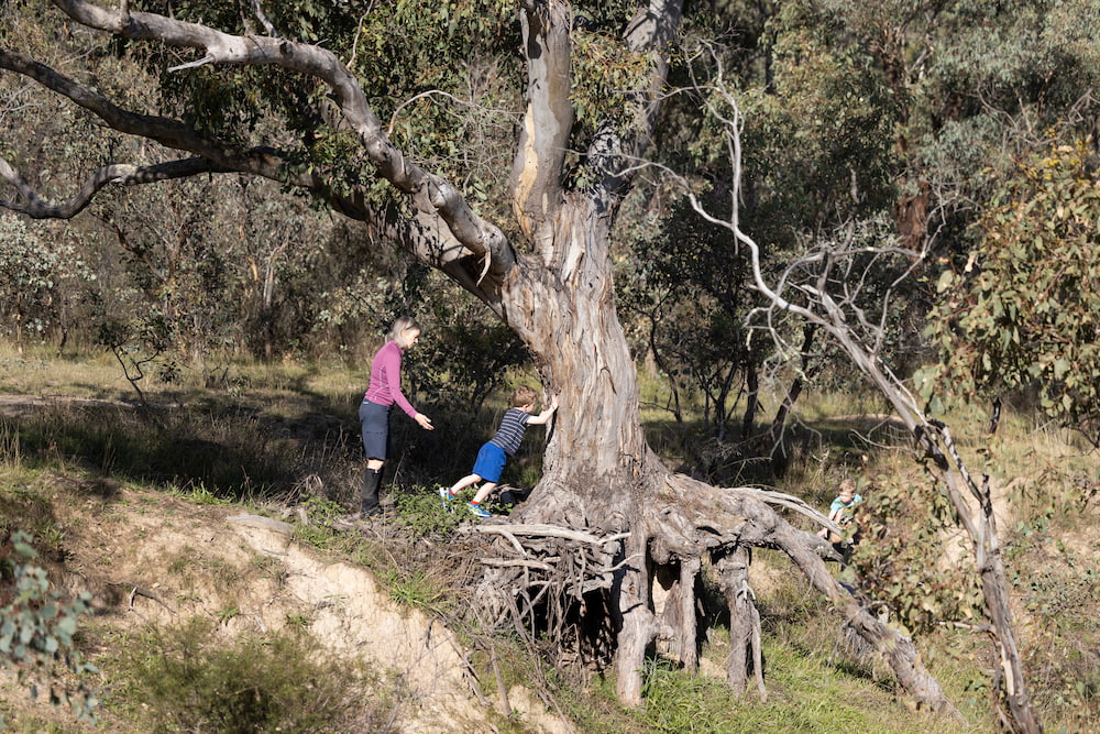
Autumn might be the best season to explore the Bush Capital, with balmy weather and a landscape slowly changing with the season.
If you’re looking for a bushwalk this weekend or anytime during autumn, check out our extensive list for you to pick and choose from.
Out of town
There are too many beautiful walks in Tidbinbilla Nature Reserve and Namadgi National Park to list. For those overwhelmed by choice, we’ve picked our top two.
Honeysuckle Creek to Booroomba Rocks (11.6km)
This walk in Namagadi National Park begins at the old Honeysuckle Creek Space Tracking Station, an hour-long drive from the centre of Canberra.
Given the walk takes at least three hours, Canberra Daily recommends turning this beautiful walk into a day trip.
Beloved by rock climbers, Booroomba Rocks offers stunning views over the Brindabella Ranges.
Those after a shorter walk may consider parking at the Booroomba Rock Car Park, provided their car has adequate clearance.
Gibraltar Peak (8.2km)
This Tidbinbilla Nature Reserve walk begins at Dalsetta Car Park, which is well signposted and equipped with picnic tables and toilets.
This walk requires a good level of fitness, and the return trip takes about 2.5 hours.
A picnic table at the halfway mark is a welcome rest spot on the way to the peak, and an observation platform approximately 800 metres below the summit has a beautiful aspect.
If you choose to proceed to the very top, take care on parts of the track with little traction. Wear shoes with good grip.
Around town
Although Canberra is blessed with its proximity to nature, there are plenty of walks that don’t require a longer drive and are accessible by public transport.
Mount Ainslie’s Kokoda Track and the Lake Burley Griffin bridge-to-bridge walk are tried and tested, and both a classic destination for Canberran foot traffic.
If you’re ready to mix it up, visit another suburb to try one of these well known, somewhat less frequented, walks around the Territory.
Jerrabomberra Wetlands Walk (3.2km)
The wetlands trail is adored by bird watchers and families. If you’re entertaining visitors from overseas or interstate this is a good spot to see Australian wildlife and many species of migratory birds.
In a quiet spot between Kingston Foreshore and Fyshwick, this unique ecosystem was created by Lake Burley Griffin’s construction in the 1960s.
Bring a pair of binoculars and leave the dog at home to explore this hidden gem.

One Tree Hill (8.4km)
For a certain generation, the name of this Hall trail evokes the early-2000s Chad Michael Murray drama and its belter of a theme song, Gavin DeGraw’s I Don’t Wanna Be.
This is a lovely, moderately flat two-hour round trip with very little cover – so wear a hat if it’s sunny.
The only time it presents anything remotely challenging is the final ascent up the eponymous hill itself. Can you spot the ‘one tree’?
Lake Ginninderra (7.3km)
Frequented by residents of nearby Belconnen suburbs, Lake Ginninderra’s loop track steers you through a great deal of parkland, by the Belconnen dog park, along a little bit of Ginninderra Drive, and past the tree-lined Emu Bank promenade.
Over two hours you’ll spot a wide range of swans, ducks and other water birds, while passing families, dog lovers, and other residents out enjoying the surrounds.
Popular starting points are at Townsend Place, Diddams Close, and Macdermott Place. Either do the full walk or break off as much as you can chew.
A popular 2.5km loop walk can be done from Diddams Close near the Belconnen Dog Park.
Mount Taylor (3.8km)
In many ways, this is the Southside’s Mount Ainslie.
A challenging and, at times, steep summit track that’s popular with both locals going up from their backyards and people driving from across South Canberra to pull up at the Sulwood Drive carpark.
With 360-degree views at the summit spanning from the Brindabellas all the way to Gungahlin, this fantastic Woden/Tuggeranong walk is a winner.
If the summit sounds like too much for you, the gentler trails around the base create a pleasant loop.
Mulligans Flat Reserve Bird Walk (7.6km)
If you’re driving, park at the Forde carpark on Amy Ackman Street, then follow the signs toward the main gate into the reserve.
Once inside, the loop walk is a 6km circuit through Yellow Box-Red Gum Grassy Woodland, an endangered ecological community that merges into the Scribbly Gum-Brittle Gum woodland.
You’re very likely to spot kangaroos, wallabies, echidnas and myriad birdlife at Mulligan’s, which, along with the reserve’s gorgeous native flora and serene aura, makes it a beloved spot for so many Canberrans.
Located within Mulligans Flat Nature Reserve, the enclosed Mulligans Flat Woodland Sanctuary is home to reintroduced woodland fauna, long lost from the Canberra environment, including Eastern Quoll, Eastern Bettong and Bush Stone-Curlew.
Molonglo Gorge to Blue Tiles (3km)
Located in the Kowen Forest, Molonglo Gorge provides locals and visitors with a peaceful escape from the city.
The Blue Tiles Walk is a moderate walk beside the Molonglo River. Along the way, you may find some more challenging sections. There are some steep sections near the start and you may find you have to climb over some rocks, but for the most part the walk is a pleasant stroll through the bush.
To get to Molonglo Gorge, take the Sutton Road off Pialligo Avenue and turn onto the dirt road signposted as Kowen Forest and Molonglo Gorge.
The Molonglo Gorge Nature Reserve covers a 15.5km stretch of the Molonglo River, and welcomes dogs on lead. The recreation area near the carpark is fitted out with barbecues, picnic tables, shelters and toilets. There are no toilet facilities at the other end.
O’Connor Ridge (various)
There are multiple entry points to this bushland along Dryandra Street, and extensive walking tracks allow visitors to pick their own path.
Bordering Bruce Ridge and Black Mountain nature reserves, O’Connor Ridge is a 57-hectare network of trails suitable for walking or mountain biking.
The Ridge is home to diverse flora and an area of critically endangered Yellow Box and Blakely’s Red Gum woodland.
Tuggeranong Hill (3km)
This trail starts and finishes at Calliste Crescent in Theodore, but there are other pedestrian access points in Theodore and Conder.
The summit trail is a steep incline up the hill that when you reach the top offers fantastic views of the Tuggeranong Valley, the Bullen Range, Rob Roy Range and Mount Tennant.
For bird lovers, the Tuggeranong Hill Reserve provides habitat for woodland birds, and is an important stop-off point for the annual autumn migration of honeyeaters.
Mount Majura Nature Reserve (6.1km summit circuit)
Unlike Mt Ainslie, which can be crowded, the Majura trails tend to be walked by local residents, and are particularly beautiful in the autumn weather.
Ainslie’s less crowded yet equally beautiful and slightly taller sister is a popular walking spot for the residents of Hackett, Watson, Ainslie and Dickson, offering a range of summit and base circuit walking trails, providing a number of walks or bike rides at various degrees of difficulty.
Take on the mountain or enjoy a more leisurely walk along the Hackett and Ainslie houses tracks.
Barrenjoey Peninsula (2km)
Park at the National Rock Garden car park, off Lady Denman Drive, and take your dog for a loop around this underappreciated corner of Lake Burley Griffin’s shoreline.
Barrenjoey Peninsula is a tranquil spot with beautiful views of the lake, Weston Park and Government House.
In fact, trees were first planted at this site by eminent Australian forest scientist and landscape architect, Emeritus Professor Lindsay Pryor AO, in 1954 at the request of then Governor General Sir William Slim, to improve the view from his residence.
Aranda Bushland (various)
Tucked away between major arterial roads, this precious patch of bushland below Black Mountain is home to wildlife, native orchids and a variety of eucalypt.
Visitors have the option of choosing their own adventure in this 100-hectare reserve, or following the Frost Hollow to Forest Walk for a structured one or two hour self-guided tour.
An excellent brochure prepared by Friends of Aranda Bushland details the Frost Hollow to Forest Walk, and a map of Aranda Bushland can be found here.
Red Rock Gorge Lookout (4km)
Beginning at the Kambah Pool Beach carpark, this easy walk to the Red Rock Gorge Lookout is around a one-hour return trip, depending on your fitness level and how many times you pause to admire the view.
Following a short section of the Canberra Centenary Trail along the Murrumbidgee River, it’s a no brainer to pack swimmers to finish with a dip in the water on a hot day.
– Denholm Samaras and Rosa Ritchie
For more health and lifestyle: